
ಚಿತ್ರ:Africa land cover location map.jpg

ಈ ಮುನ್ನೋಟ ಗಾತ್ರ:೬೩೫ × ೬೦೦ ಪಿಕ್ಸೆಲ್ಗಳು. ಇತರ ರೆಸಲ್ಯೂಶನ್ಗಳು: ೨೫೪ × ೨೪೦ ಪಿಕ್ಸೆಲ್ಗಳು | ೫೦೮ × ೪೮೦ ಪಿಕ್ಸೆಲ್ಗಳು | ೮೧೩ × ೭೬೮ ಪಿಕ್ಸೆಲ್ಗಳು | ೧,೦೮೪ × ೧,೦೨೪ ಪಿಕ್ಸೆಲ್ಗಳು | ೧,೫೨೫ × ೧,೪೪೦ ಪಿಕ್ಸೆಲ್ಗಳು.
ಮೂಲ ಕಡತ (೧,೫೨೫ × ೧,೪೪೦ ಚಿತ್ರಬಿಂದು, ಫೈಲಿನ ಗಾತ್ರ: ೫೨೩ KB, MIME ಪ್ರಕಾರ: image/jpeg)
ಈ ಫೈಲು ವಿಕಿಮೀಡಿಯ ಕಾಮನ್ಸ್ನಲ್ಲಿ ಇರುವುದು. ಅಲ್ಲಿನ ವಿವರಣೆ ಪುಟವನ್ನೇ ಕೆಳಗೆ ತೋರಿಸಲಾಗಿದೆ. ಕಾಮನ್ಸ್ ಕೃತಿಸ್ವಾಮ್ಯತೆಯಿಂದ ಮುಕ್ತ ಫೈಲುಗಳ ಒಂದು ಆಗರ. ಅಲ್ಲಿ ನೀವೂ ಸಹಕರಿಸಬಹುದು. |
ಸಾರಾಂಶ
| ವಿವರ |
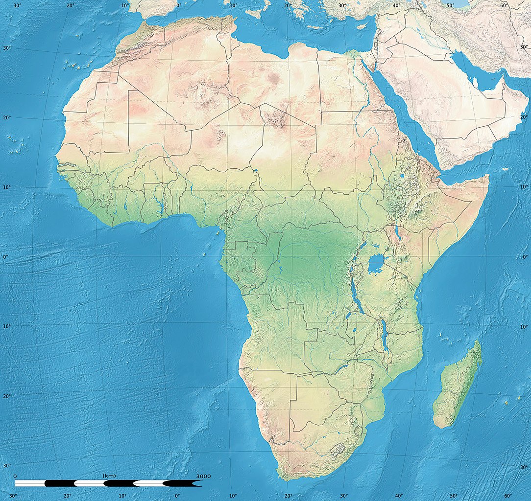
English: Simulated land cover map of Africa showing the natural aspect of the land with bathymetry as it could be seen from space; for geo-location purposes. Borders as in July 2011.
Français : Carte de la couverture du sol simulée de l'Afrique montrant l'aspect naturel des terres telles qu'elles seraient vues depuis l'espace, avec bathymétrie ; destinée à la géolocalisation. Frontières telles qu'en juillet 2011. Lambert azimutal equal-area projection, WGS84 datum
|
| ದಿನಾಂಕ | ಜುಲೈ, ೨೦೧೦, updated 2011-07 |
| ಆಕರ |
Blank background map: Natural Earth II (public domain) by Tom Patterson, US National Park Service |
| ಕರ್ತೃ | Tom Patterson and Eric Gaba (Sting - fr:Sting) |
| ಅನುಮತಿ (ಈ ಕಡತವನ್ನು ಮರುಬಳಕೆ ಮಾಡಲಾಗುತ್ತಿದೆ) |
Public domain |
| ಇತರೆ ಆವೃತ್ತಿಗಳು |
|


| Camera location | | View this and other nearby images on: OpenStreetMap |
|---|
ಪರವಾನಗಿ
| This work was previously under Public Domain, or a Free License. It has been digitally enhanced and/or modified. This derivative work has been (or is hereby) released into the public domain by its author, Sting at the French Wikipedia project. This applies worldwide. In some countries this is not legally possible; if so:
|
ಕಡತದ ಇತಿಹಾಸ
ದಿನ/ಕಾಲ ಒತ್ತಿದರೆ ಆ ಸಮಯದಲ್ಲಿ ಈ ಕಡತದ ವಸ್ತುಸ್ಥಿತಿ ತೋರುತ್ತದೆ.
| ದಿನ/ಕಾಲ | ಕಿರುನೋಟ | ಆಯಾಮಗಳು | ಬಳಕೆದಾರ | ಟಿಪ್ಪಣಿ | |
|---|---|---|---|---|---|
| ಪ್ರಸಕ್ತ | ೦೦:೨೪, ೧೫ ಜುಲೈ ೨೦೧೧ | | ೧,೫೨೫ × ೧,೪೪೦ (೫೨೩ KB) | Sting | Sudan/South Sudan 07-2011 border update |
| ೧೯:೦೩, ೧೯ ಜುಲೈ ೨೦೧೦ |  | ೧,೫೨೫ × ೧,೪೪೦ (೪೪೦ KB) | Sting | Color profile | |
| ೦೮:೨೫, ೭ ಜುಲೈ ೨೦೧೦ |  | ೧,೫೨೫ × ೧,೪೪೦ (೪೪೭ KB) | Sting | Again... | |
| ೦೮:೧೯, ೭ ಜುಲೈ ೨೦೧೦ |  | ೧,೫೨೫ × ೧,೪೪೦ (೪೪೧ KB) | Sting | Public domain => no copyright mention | |
| ೦೧:೫೯, ೪ ಜುಲೈ ೨೦೧೦ |  | ೧,೫೨೫ × ೧,೪೪೦ (೪೪೭ KB) | Sting | == {{int:filedesc}} == {{Location|00|00|00|N|15|00|00|E|scale:30000000}} <br/>{{Information |Description={{en|Land cover map of Africa simulating the natural aspect of the land with bathymetry; for geo-location purposes.} |
ಕಡತ ಬಳಕೆ
ಈ ಕೆಳಗಿನ 3 ಪುಟಗಳು ಈ ಚಿತ್ರಕ್ಕೆ ಸಂಪರ್ಕ ಹೊಂದಿವೆ:
ಜಾಗತಿಕ ಕಡತ ಉಪಯೋಗ
ಈ ಕಡತವನ್ನು ಕೆಳಗಿನ ಬೇರೆ ವಿಕಿಗಳೂ ಉಪಯೋಗಿಸುತ್ತಿವೆ:
- als.wikipedia.org ಮೇಲೆ ಬಳಕೆ
- ar.wikipedia.org ಮೇಲೆ ಬಳಕೆ
- az.wikipedia.org ಮೇಲೆ ಬಳಕೆ
- ce.wikipedia.org ಮೇಲೆ ಬಳಕೆ
- de.wikipedia.org ಮೇಲೆ ಬಳಕೆ
- en.wikipedia.org ಮೇಲೆ ಬಳಕೆ
- Template:Location map
- Template:Location map/doc
- Template:Location map/sandbox
- Module:Location map/data/Africa/doc
- Module:Location map/data/Africa
- Wikipedia:Featured article candidates/Black mamba/archive1
- Wikipedia:Featured article candidates/Featured log/March 2019
- Module talk:Location map/Archive 11
- frr.wikipedia.org ಮೇಲೆ ಬಳಕೆ
- fr.wikipedia.org ಮೇಲೆ ಬಳಕೆ
- hr.wikipedia.org ಮೇಲೆ ಬಳಕೆ
- inh.wikipedia.org ಮೇಲೆ ಬಳಕೆ
- lv.wikipedia.org ಮೇಲೆ ಬಳಕೆ
- mn.wikipedia.org ಮೇಲೆ ಬಳಕೆ
- myv.wikipedia.org ಮೇಲೆ ಬಳಕೆ
- pt.wikipedia.org ಮೇಲೆ ಬಳಕೆ
- ru.wikipedia.org ಮೇಲೆ ಬಳಕೆ
- si.wikipedia.org ಮೇಲೆ ಬಳಕೆ
- uz.wikipedia.org ಮೇಲೆ ಬಳಕೆ
- vi.wikipedia.org ಮೇಲೆ ಬಳಕೆ