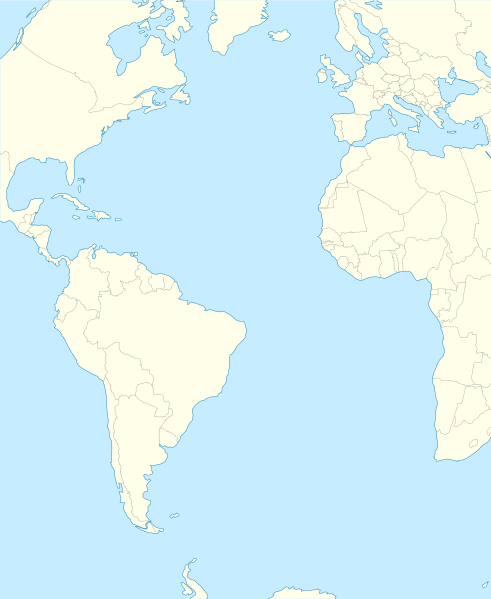
ಚಿತ್ರ:Atlantic Ocean laea location map.svg
ಗೋಚರ

Size of this PNG preview of this SVG file: ೪೯೧ × ೫೯೯ ಪಿಕ್ಸೆಲ್ಗಳು. ಇತರ ರೆಸಲ್ಯೂಶನ್ಗಳು: ೧೯೭ × ೨೪೦ ಪಿಕ್ಸೆಲ್ಗಳು | ೩೯೩ × ೪೮೦ ಪಿಕ್ಸೆಲ್ಗಳು | ೬೨೯ × ೭೬೮ ಪಿಕ್ಸೆಲ್ಗಳು | ೮೩೯ × ೧,೦೨೪ ಪಿಕ್ಸೆಲ್ಗಳು | ೧,೬೭೯ × ೨,೦೪೮ ಪಿಕ್ಸೆಲ್ಗಳು | ೭೦೯ × ೮೬೫ ಪಿಕ್ಸೆಲ್ಗಳು.
ಮೂಲ ಕಡತ (SVG ಫೈಲು, ಸುಮಾರಾಗಿ ೭೦೯ × ೮೬೫ ಚಿತ್ರಬಿಂದುಗಳು, ಫೈಲಿನ ಗಾತ್ರ: ೨೭೪ KB)
ಕಡತದ ಇತಿಹಾಸ
ದಿನ/ಕಾಲ ಒತ್ತಿದರೆ ಆ ಸಮಯದಲ್ಲಿ ಈ ಕಡತದ ವಸ್ತುಸ್ಥಿತಿ ತೋರುತ್ತದೆ.
| ದಿನ/ಕಾಲ | ಕಿರುನೋಟ | ಆಯಾಮಗಳು | ಬಳಕೆದಾರ | ಟಿಪ್ಪಣಿ | |
|---|---|---|---|---|---|
| ಪ್ರಸಕ್ತ | ೦೨:೪೯, ೧ ಫೆಬ್ರವರಿ ೨೦೧೨ |  | ೭೦೯ × ೮೬೫ (೨೭೪ KB) | Tentotwo | Corrected colour of black sea |
| ೦೨:೪೭, ೧ ಫೆಬ್ರವರಿ ೨೦೧೨ |  | ೭೦೯ × ೮೬೫ (೨೯೮ KB) | Tentotwo | Included border of South Sudan | |
| ೧೯:೦೮, ೩೧ ಜನವರಿ ೨೦೧೨ |  | ೭೦೯ × ೮೬೫ (೨೪೮ KB) | Tentotwo | Removed grid line | |
| ೧೯:೦೬, ೩೧ ಜನವರಿ ೨೦೧೨ |  | ೭೦೯ × ೮೬೫ (೨೩೯ KB) | Tentotwo |
ಕಡತ ಬಳಕೆ
ಈ ಕೆಳಗಿನ ಪುಟವು ಈ ಚಿತ್ರಕ್ಕೆ ಸಂಪರ್ಕ ಹೊಂದಿದೆ:
ಜಾಗತಿಕ ಕಡತ ಉಪಯೋಗ
ಈ ಕಡತವನ್ನು ಕೆಳಗಿನ ಬೇರೆ ವಿಕಿಗಳೂ ಉಪಯೋಗಿಸುತ್ತಿವೆ:
- af.wikipedia.org ಮೇಲೆ ಬಳಕೆ
- als.wikipedia.org ಮೇಲೆ ಬಳಕೆ
- ar.wikipedia.org ಮೇಲೆ ಬಳಕೆ
- ast.wikipedia.org ಮೇಲೆ ಬಳಕೆ
- azb.wikipedia.org ಮೇಲೆ ಬಳಕೆ
- be-tarask.wikipedia.org ಮೇಲೆ ಬಳಕೆ
- be.wikipedia.org ಮೇಲೆ ಬಳಕೆ
- ceb.wikipedia.org ಮೇಲೆ ಬಳಕೆ
- Plantilya:Location map Atlantic Ocean
- South Point
- Scotts Hill
- Saddle Hill
- The Ridge
- Pillar Rock
- James Bay
- Castle Hill
- Bird Island
- North Point
- West Point
- Sandy Point
- Black Point
- Powell Point
- Black Rock
- Egg Island
- East Point
- White Rock
- White Point
- Whale Point
- Long Point
- The Bluff
- Middle Point
- Crown Point
- Channel Rock
- Cave Point
- Blue Hill
- South West Point
- White Bluff
- Sandy Bay
- George Island
- South West Bay
ಈ ಫೈಲ್ನ ಹೆಚ್ಚು ಜಾಗತಿಕ ಬಳಕೆಯನ್ನು ವೀಕ್ಷಿಸಿ.
