
ಚಿತ್ರ:Russia Kaliningrad location map.svg

Size of this PNG preview of this SVG file: ೮೦೦ × ೫೦೦ ಪಿಕ್ಸೆಲ್ಗಳು. ಇತರ ರೆಸಲ್ಯೂಶನ್ಗಳು: ೩೨೦ × ೨೦೦ ಪಿಕ್ಸೆಲ್ಗಳು | ೬೪೦ × ೪೦೦ ಪಿಕ್ಸೆಲ್ಗಳು | ೧,೦೨೪ × ೬೪೦ ಪಿಕ್ಸೆಲ್ಗಳು | ೧,೨೮೦ × ೮೦೦ ಪಿಕ್ಸೆಲ್ಗಳು | ೨,೫೬೦ × ೧,೫೯೯ ಪಿಕ್ಸೆಲ್ಗಳು | ೧,೦೪೭ × ೬೫೪ ಪಿಕ್ಸೆಲ್ಗಳು.
ಮೂಲ ಕಡತ (SVG ಫೈಲು, ಸುಮಾರಾಗಿ ೧,೦೪೭ × ೬೫೪ ಚಿತ್ರಬಿಂದುಗಳು, ಫೈಲಿನ ಗಾತ್ರ: ೭೪ KB)
ಈ ಫೈಲು ವಿಕಿಮೀಡಿಯ ಕಾಮನ್ಸ್ನಲ್ಲಿ ಇರುವುದು. ಅಲ್ಲಿನ ವಿವರಣೆ ಪುಟವನ್ನೇ ಕೆಳಗೆ ತೋರಿಸಲಾಗಿದೆ. ಕಾಮನ್ಸ್ ಕೃತಿಸ್ವಾಮ್ಯತೆಯಿಂದ ಮುಕ್ತ ಫೈಲುಗಳ ಒಂದು ಆಗರ. ಅಲ್ಲಿ ನೀವೂ ಸಹಕರಿಸಬಹುದು. |
ಸಾರಾಂಶ
| ವಿವರ |
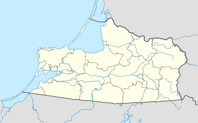
Quadratische Plattkarte, N-S-Streckung 174 %. Geographische Begrenzung der Karte:
Equirectangular projection, N/S stretching 174 %. Geographic limits of the map:
|
||
| ದಿನಾಂಕ | |||
| ಆಕರ |
ಸ್ವಂತ ಕೆಲಸ, using
|
||
| ಕರ್ತೃ | NordNordWest | ||
| ಅನುಮತಿ (ಈ ಕಡತವನ್ನು ಮರುಬಳಕೆ ಮಾಡಲಾಗುತ್ತಿದೆ) |
I, the copyright holder of this work, hereby publish it under the following license: ಈ ಕಡತ ಕ್ರಿಯೇಟಿವ್ ಕಾಮನ್ಸ್ Attribution
-Share Alike 3.0 Unported ಪರವಾನಗಿ ಹೊಂದಿದೆ.
|
||
| ಇತರೆ ಆವೃತ್ತಿಗಳು |
Derivative works of this file: |
||
| SVG genesis | This W3C-invalid locator map was created with Adobe Illustrator by NordNordWest.
|

ಕಡತದ ಇತಿಹಾಸ
ದಿನ/ಕಾಲ ಒತ್ತಿದರೆ ಆ ಸಮಯದಲ್ಲಿ ಈ ಕಡತದ ವಸ್ತುಸ್ಥಿತಿ ತೋರುತ್ತದೆ.
| ದಿನ/ಕಾಲ | ಕಿರುನೋಟ | ಆಯಾಮಗಳು | ಬಳಕೆದಾರ | ಟಿಪ್ಪಣಿ | |
|---|---|---|---|---|---|
| ಪ್ರಸಕ್ತ | ೦೧:೦೧, ೨೫ ಜನವರಿ ೨೦೧೩ | | ೧,೦೪೭ × ೬೫೪ (೭೪ KB) | NordNordWest | upd |
| ೦೦:೧೯, ೨೬ ಅಕ್ಟೋಬರ್ ೨೦೦೯ |  | ೧,೦೪೭ × ೬೫೪ (೧೫೦ KB) | NordNordWest | {{int:filedesc}} {{Information |Description= {{de|Positionskarte der Oblast Kaliningrad, Russland}} Quadratische Plattkarte, N-S-Streckung 174 %. Geographische Begrenzung der Karte: * N: 55.5° N * S: 54.1° N * |
ಕಡತ ಬಳಕೆ
ಈ ಕೆಳಗಿನ ಪುಟವು ಈ ಚಿತ್ರಕ್ಕೆ ಸಂಪರ್ಕ ಹೊಂದಿದೆ:
ಜಾಗತಿಕ ಕಡತ ಉಪಯೋಗ
ಈ ಕಡತವನ್ನು ಕೆಳಗಿನ ಬೇರೆ ವಿಕಿಗಳೂ ಉಪಯೋಗಿಸುತ್ತಿವೆ:
- af.wikipedia.org ಮೇಲೆ ಬಳಕೆ
- ar.wikipedia.org ಮೇಲೆ ಬಳಕೆ
- azb.wikipedia.org ಮೇಲೆ ಬಳಕೆ
- az.wikipedia.org ಮೇಲೆ ಬಳಕೆ
- be.wikipedia.org ಮೇಲೆ ಬಳಕೆ
- Калінінград
- Баграціёнаўск
- Азёрск (Калінінградская вобласць)
- Шаблон:На карце/Расія Калінінградская вобласць
- Светлагорск (Калінінградская вобласць)
- Савецк (Калінінградская вобласць)
- Гвардзейск
- Несцераў (Калінінградская вобласць)
- Піянерскі (горад)
- Гур’еўск (Калінінградская вобласць)
- Светлы (Калінінградская вобласць)
- Неман (горад)
- Мамонава (горад)
- Зеленаградск
- Красназнаменск (Калінінградская вобласць)
- Знаменск (Калінінградская вобласць)
- Палеск (горад)
- Ладушкін
- Рыбачы (Калінінградская вобласць)
- Янтарны (Калінінградская вобласць)
- Нівенскае
- Жалезнадарожны (Калінінградская вобласць)
- bg.wikipedia.org ಮೇಲೆ ಬಳಕೆ
- bn.wikipedia.org ಮೇಲೆ ಬಳಕೆ
- ceb.wikipedia.org ಮೇಲೆ ಬಳಕೆ
- ce.wikipedia.org ಮೇಲೆ ಬಳಕೆ
- Калининград
- Черемхово (Калининградан область)
- Моргуново (Гурьевскан гӀалин гуо)
- Дачни (Зеленоградскан кӀошт)
- Зеленцово (Правдинскан кӀошт)
- Озерск (Калининградан область)
- Исток (Славскан кӀошт)
- Новоуральск (Краснознаменскан кӀошт)
- Дубрава (Озёрскан кӀошт)
- Карповка (Озёрскан кӀошт)
- Грачевка (Зеленоградскан кӀошт)
- Григорьевка (Полесскан кӀошт)
- Лунино (Гвардейскан кӀошт)
ಈ ಫೈಲ್ನ ಹೆಚ್ಚು ಜಾಗತಿಕ ಬಳಕೆಯನ್ನು ವೀಕ್ಷಿಸಿ.